Wingman Drones' Mapping Services

Agriculture
Drone Photogrammetry
Construction
Our high-level processing and advanced mapping routes create easy-to-read VARI heatmaps for farmers that accurately track plant health, stand count, and much more on a fast turn-around. And when disaster strikes, Wingman Drones can map your property to aid in the insurance claims process.
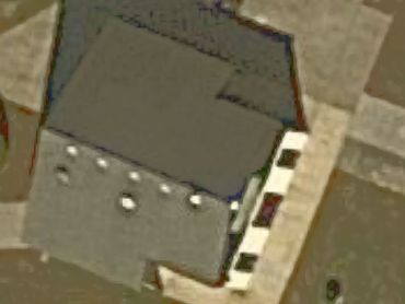
Construction
Drone Photogrammetry
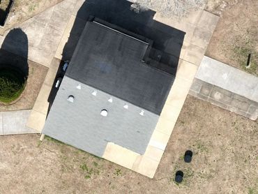
Construction
Wingman Drone's digital modeling and mapping tools can monitor digital twins of construction sites through the cloud while also providing detailed overviews, models and measurements throughout the development process, ensuring all parties are on the same page and no stone is left unturned.
Drone Photogrammetry
Drone Photogrammetry
Drone Photogrammetry
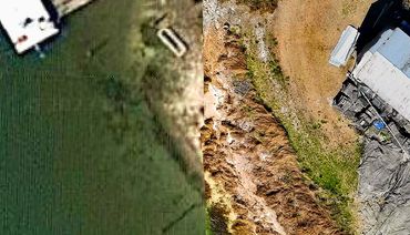
There's aerial photography-- and then there's Wingman Drones' ability to create 2D maps and 3D reconstructions of thousands of acres, and incredibly high resolution models, which in some cases are almost indistinguishable from the real thing. Contact us with your project information and we'll find the right drone solution for your business.
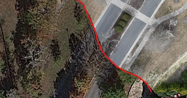
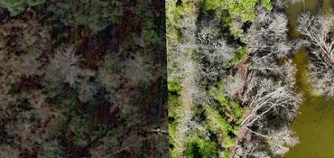
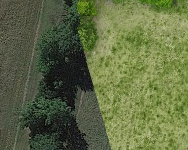
Google Earth vs. Wingmaps